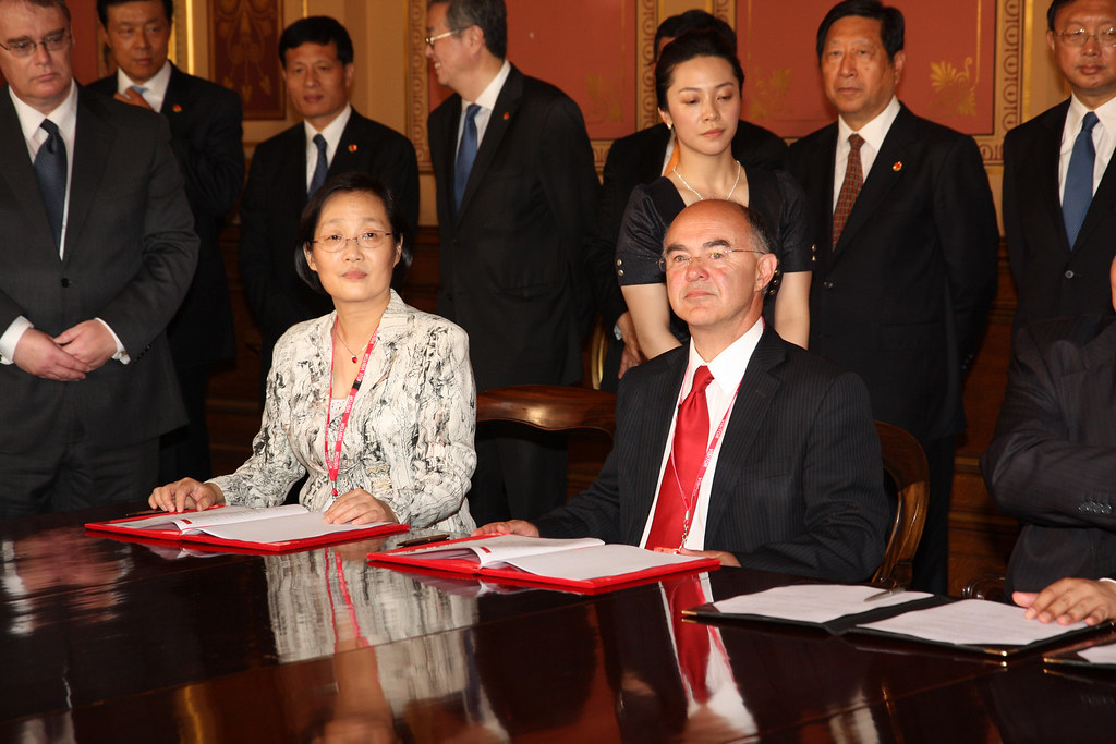

Remote sensing satellite technology has seen significant advancements, with China successfully launching a new satellite that enhances its capabilities in space exploration.
Overview of China’s Satellite Launch
China has once again demonstrated its prowess in space exploration with the successful launch of a new remote sensing satellite. This mission marks a significant achievement for the nation, emphasizing its commitment to advancing satellite technology and enhancing its Earth observation capabilities.
The launch took place from the Taiyuan Satellite Launch Center, utilizing a Long March 4B rocket. The satellite is designed to provide critical data for various applications, including:
- Environmental monitoring
- Agricultural assessments
- Urban planning
- Disaster management
With the deployment of this remote sensing satellite, China aims to bolster its ability to gather and analyze data, thereby improving decision-making processes across multiple sectors. The country’s investment in satellite technology not only showcases its growing capabilities but also positions it as a key player in the global space community.
Importance of Remote Sensing Technology
Remote sensing technology plays a crucial role in various sectors, offering valuable insights and data for effective decision-making. With the launch of a new remote sensing satellite, China continues to enhance its capabilities in gathering and analyzing information from space.
This technology is essential for:
- Environmental Monitoring: It helps track changes in land use, deforestation, and urban expansion.
- Agricultural Management: Farmers can utilize remote sensing data to optimize crop yields and monitor soil health.
- Disaster Response: Timely satellite imagery is vital for assessing damage and coordinating relief efforts during natural disasters.
- Urban Planning: City planners rely on satellite data to make informed decisions about infrastructure development and resource allocation.
As countries continue to invest in remote sensing satellites, the importance of this technology in addressing global challenges cannot be overstated.
Recent Advancements in Space Exploration
China has made significant strides in space exploration, particularly with its advancements in remote sensing technology. The recent launch of a new remote sensing satellite marks another achievement in the country’s ambitious space program. This satellite is designed to enhance various applications, including agriculture monitoring, disaster management, and urban planning.
Key advancements contributing to the success of this mission include:
- Improved Imaging Capabilities: The satellite features high-resolution sensors that provide clearer and more detailed images of the Earth’s surface.
- Enhanced Data Processing: Sophisticated algorithms allow for quicker analysis and interpretation of the collected data.
- Broader Coverage: The satellite is equipped to capture images over larger areas, improving monitoring efficiency.
Such developments not only bolster China’s position in the global space race but also highlight the increasing reliance on remote sensing satellites to tackle pressing environmental and societal issues.
China’s Role in Global Space Initiatives
China has emerged as a key player in global space initiatives, particularly in the realm of remote sensing technology. The recent launch of a new remote sensing satellite underscores the nation’s commitment to enhancing its capabilities in this field. With a focus on improving agricultural monitoring, disaster management, and environmental protection, China is leveraging satellite technology to address both domestic and global challenges.
Moreover, China’s advancements in remote sensing satellites are not only beneficial for national interests but also contribute to international collaboration. The data collected from these satellites is crucial for various sectors, including:
- Agriculture: Providing insights into crop health and yield predictions.
- Climate Monitoring: Tracking changes in weather patterns and natural disasters.
- Urban Planning: Assisting in the development of smart cities.
China’s proactive approach in launching remote sensing satellites signifies its determination to play a pivotal role in the future of space exploration and technology.
Future Implications of Satellite Technology
The launch of the latest remote sensing satellite by China not only marks a significant milestone in space exploration but also opens up numerous future implications for various sectors. As satellite technology continues to evolve, its applications are becoming increasingly vital in addressing global challenges.
Key implications of this advancement include:
- Environmental Monitoring: Remote sensing satellites play a crucial role in tracking climate change, deforestation, and natural disasters, helping researchers and policymakers make informed decisions.
- Agricultural Development: The technology can enhance crop management practices by providing real-time data on soil health and moisture levels, which is essential for food security.
- Urban Planning: Accurate data from remote sensing satellites can assist city planners in managing urban growth sustainably and efficiently.
- National Security: These satellites are vital for surveillance and reconnaissance, ensuring a nation’s preparedness in the face of potential threats.
As China continues to invest in remote sensing technology, the possibilities for innovation and progress are limitless.
By Foreign, Commonwealth & Development Office via Openverse
Read the original
Ratopati · Remote sensing satellite
Related reading
Casio G-Shock GMC-2500: The Best Features and Price Revealed · Shadow of the Tomb Raider: Definitive Edition Worth Playing · OPPO Find X10 Pro Max: The Best Smartphone with 200 MP Cameras